
Site Plan Maker
Many permit applications for sheds, decks, fences, additions and pools ask for a site plan: a bird’s-eye drawing of your lot showing buildings, distances to property lines and the new work. Enter your lot size, house footprint and position, add a shed, deck or garage, and the maker draws a scaled plan with dimensions, checks setbacks against the numbers you enter, and calculates lot coverage.
- Free to use
- No sign-up
- Runs in your browser
Site plan maker
Site Plan & Permit Kit
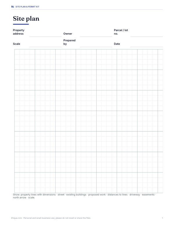
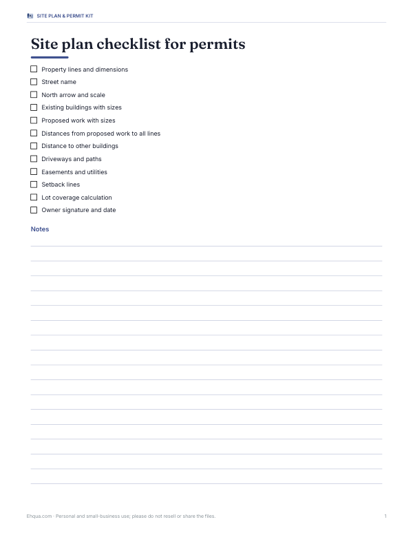
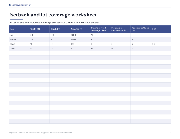
Printable site plan drawing sheets (1 in = 20 ft grid with title block), a site plan checklist for permit applications, a setback and coverage worksheet (Excel) and a project notes template.
- Drawing sheet (PDF)
- Permit checklist (PDF, DOCX)
- Coverage worksheet (XLSX)
- Project notes (DOCX)
Formats: PDF, DOCX, XLSX. Instant download after payment (link valid 72 hours, up to 5 downloads). AI-assisted: the templates were drafted with AI help and reviewed and laid out before publishing.
$4.00 USD, one-time 4 files · about $1.00 each
- Instant download
- 7-day refund
- Secure checkout by Stripe
7-day money-back guarantee. Full refund within 7 days of purchase, even after you download.
Free sample: Project Notes (PDF, 63 KB)
Full refund within 7 days — see the refund policy and license.
Free printables
Single sheets you can print right now, no sign-up. The full pack adds every sheet in one download plus the editable files.
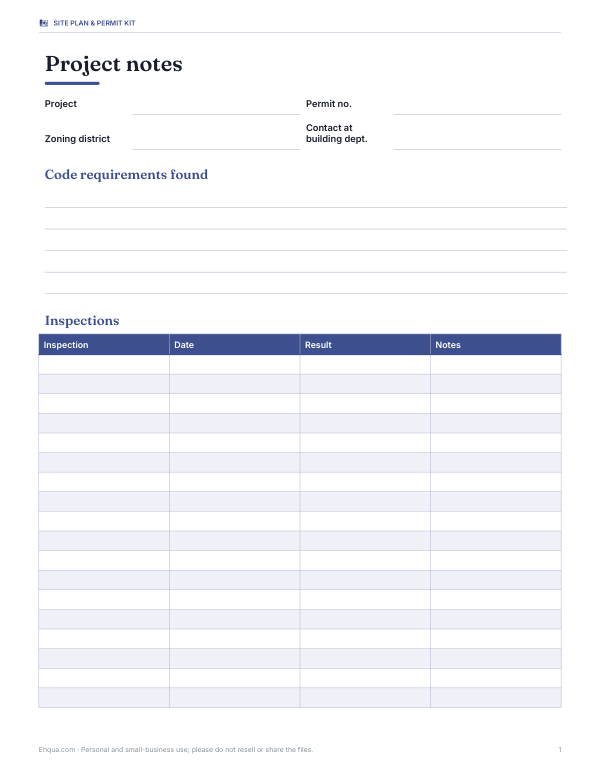 Printable Project Notes Worksheet
What a site plan shows
A site plan (also called a plot plan) is a top-down drawing of a property. For a simple residential permit it typically shows: the property lines and their dimensions; the street; existing buildings such as the house and garage; the proposed new work; distances from the new work to property lines and other buildings; driveways and paths; easements; and a north arrow and scale. Larger projects may also need topography, drainage, utilities, trees and impervious surface calculations.
Setbacks explained
| Term | Meaning |
|---|---|
| Front setback | Minimum distance between a building and the front property line (street side) |
| Side setback | Minimum distance to each side property line |
| Rear setback | Minimum distance to the back property line |
| Accessory structure setbacks | Often smaller for sheds and garages, sometimes larger for pools |
| Easement | Part of the lot others have rights to use (utilities, access); building there is usually restricted |
Setback distances vary widely between towns and zoning districts, and sometimes between corner and interior lots. Find yours in the local zoning ordinance or ask the planning office, then enter them in the maker so it can check the drawing.
Lot coverage
Many zoning codes limit how much of the lot can be covered by buildings, or by all impervious surfaces including driveways and patios. The maker calculates building coverage as the footprint of the house plus the new building divided by the lot area. Decks and pools are excluded from that figure by default because codes treat them differently — some count them, some do not. Check your code’s definition.
How to draw your site plan
- Find your lot dimensions on your deed, a previous survey, the county GIS map or your closing documents.
- Measure the house footprint and its distance from the front and one side property line.
- Decide where the new structure will go and measure its distances.
- Enter the local setbacks from your zoning code.
- Review the checks and move the structure if any distance fails.
- Print at 100% or download the SVG, then add hand notes such as utilities, trees and fences if required.
- Sign and date the plan if your permit office asks.
Worked example: a backyard shed
A homeowner with a 60 × 120 ft lot wants a 10 × 12 ft shed in the back corner. The house is 36 × 40 ft, 28 ft from the front and 12 ft from the left line. With the shed 44 ft from the left line and 96 ft back, the maker shows it 12 ft from the rear line and 6 ft from the right line, passing a 5 ft side setback but failing a 20 ft rear setback entered for the house. The homeowner checks the code, finds that accessory buildings under 200 sq ft need only 5 ft rear and side setbacks, enters those values, and the plan passes — with building coverage of 21.7%.
Where to find property line information
- A boundary survey from when you bought the property — the most accurate source.
- The plat map recorded with the county.
- County or city GIS parcel viewers (useful, but not survey-accurate).
- Property markers (iron pins) at the corners, which a surveyor can locate.
- For fences and structures near lines, a new survey avoids disputes.
Permits and inspections
Small sheds, low decks and fences are sometimes exempt from permits, but rules vary, and exempt structures usually still have to meet setbacks. Before building, check with your building department and any homeowners’ association, call the utility locating service before digging, and keep a copy of your approved site plan for inspections.
Common site plan mistakes
- Measuring from the curb or fence instead of the actual property line.
- Forgetting overhangs, steps, porches and bay windows that count toward setbacks in many codes.
- Leaving out existing sheds, pools or decks.
- No scale or north arrow.
- Using a GIS map as if it were a survey for structures close to a line.
- Not showing easements where utilities run.
Corner lots and irregular lots
Corner lots often have two front setbacks, one on each street, and a visibility triangle at the corner where fences and plantings are limited. Irregular or angled lots need bearings and distances from a survey. The maker draws rectangular lots; for other shapes, print the grid sheet from the kit and draw by hand at a consistent scale, or ask a surveyor.
Privacy
The site plan is drawn in your browser; addresses and dimensions are not stored or uploaded.
Frequently asked questions
What is a site plan for a permit?
A scaled top-down drawing of your property showing buildings, the proposed work and distances to property lines.
Do I need a surveyor for a site plan?
Simple permits often accept owner-drawn plans; some jurisdictions or projects require a survey.
What is a setback?
The minimum required distance between a building and a property line.
How do I find my setbacks?
In your local zoning ordinance or by asking the planning office.
Can I draw a site plan by hand?
Yes, many offices accept a neat hand-drawn plan at a stated scale with all distances labelled.
Does a deck count toward lot coverage?
It depends on your local code; some count decks and patios, others do not.
Does this tool replace a survey?
No. It is a planning sketch based on the measurements you enter.
Is my data stored?
No, it runs in your browser.